
I built a globe where every country is a separate piece you can pull out 🌍
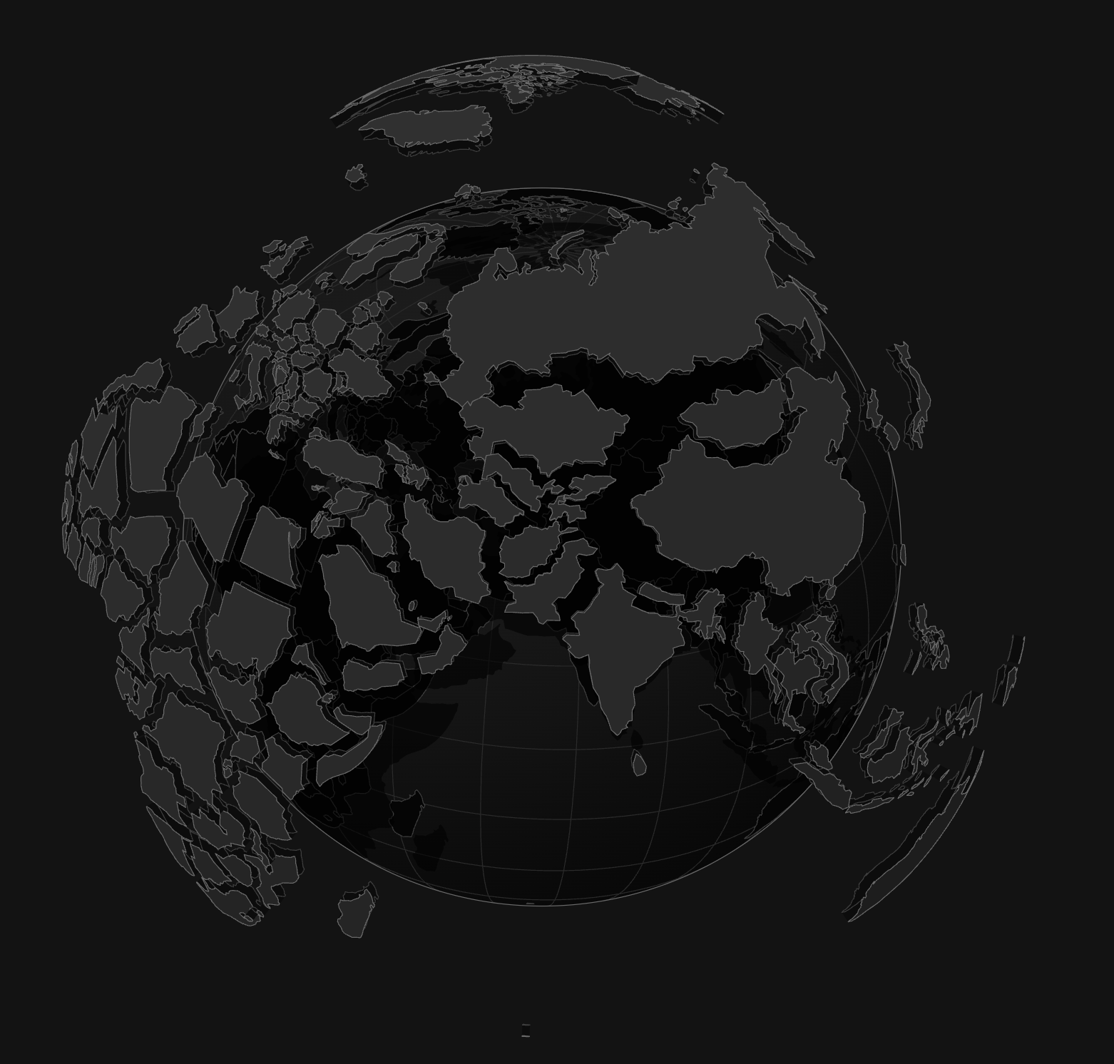
An interactive isometric globe built from plain SVG and d3-geo. Spin it, pull a country out of its socket, split it into its states, or break the whole map apart.

title: I built a globe where every country is a separate piece you can pull out 🌍 published: true description: An interactive isometric globe built from plain SVG and d3-geo. Spin it, pull a country out of its socket, split it into its states, or break the whole map apart. tags: react, svg, webdev, showdev cover_image: https://mahmad.me/blocks/world-globe/og.png
canonical_url: <your Hashnode post URL, if you publish there first>
Hey everyone 👋
Most web globes are a texture wrapped around a sphere. You can spin them, and that's about it.
I wanted one where every country is a real object: its own plate, set into the ocean ball like a puzzle piece. So I built it.
{% embed https://mahmad.me/blocks/interactive/world-globe %}
It's all SVG and a bit of math, with no WebGL and no canvas.
What you can do 🎮
- Drag to turn the globe any way
- Click a country to pull it out of its socket
- Break the whole map apart with one button, then let it settle back
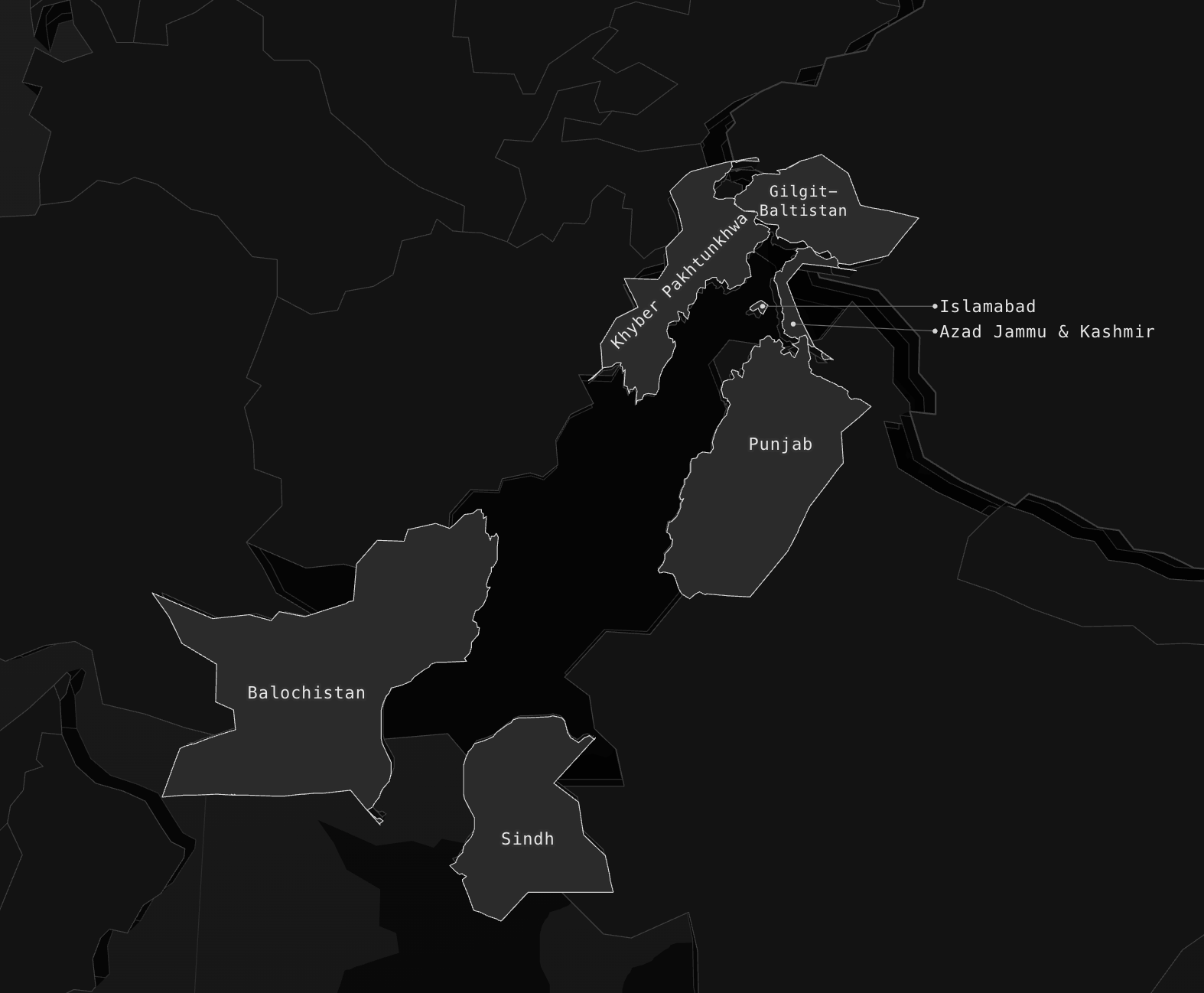
Pull out a big country like Canada, the US or Pakistan and it splits into its states or provinces, each one a plate with its name on it.
How it works 🛠️
- The ball is a projection. Natural Earth's outlines go through a d3-geo orthographic projection. When you drag, nothing moves: the globe rotates and every country is projected again.
- Each country is its own plate. It has a top, walls, a socket it leaves behind and a shadow, so it can lift out on its own spring while the others stay put.
- SVG has no depth buffer. So every frame the plates are sorted by how much they face you, and drawn back to front.
- Provinces load on demand. The split data is one small file per country, fetched only the first time you pull that country out.
Try it 🌐
👉 mahmad.me/blocks/interactive/world-globe
Break the map apart, then try to put it back together by hand
Country outlines and borders are from Natural Earth, which is public domain.